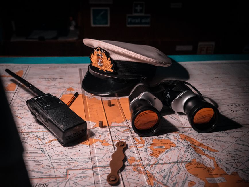
Mastering Coastal Navigation: Essential Techniques for New Skippers
For new skippers, coastal navigation represents a blend of traditional seamanship and modern techniques. Building competence in reading charts, plotting bearings, and calculating tides is essential for safe and enjoyable voyages. This guide offers an overview of these fundamental methods, focusing on how they work together to support informed decision-making while underway.
Coastal navigation requires understanding the environment: depths, hazards, tides, and currents. Unlike offshore passages, coastal waters present unique challenges such as traffic, restricted waters, and variable conditions. Developing a systematic approach helps skippers maintain situational awareness and build confidence over time.
The techniques described here are not about reaching a destination at any cost but about creating a reliable framework for navigation. By practicing these skills regularly, new skippers can gradually develop the judgment needed to navigate independently and respond to changing circumstances.
Reading Nautical Charts
Nautical charts are the primary reference for coastal navigation. They represent a detailed picture of the underwater world and the features above the waterline. Charts use symbols, colors, and abbreviations to convey information about depths, bottom types, navigation aids, obstructions, and shorelines. Understanding these symbols is the first step toward effective chart reading.
Depths are shown in meters or feet, often with contour lines that indicate changes in the seafloor. Shading or color bands highlight shallow areas that may be dangerous for a vessel. New skippers should practice identifying depth contours and relating them to their vessel’s draft. Charts also include information about tides, currents, and magnetic variation, all of which affect navigation.
Scale is another important concept. A large-scale chart (e.g., 1:20,000) shows a small area in great detail and is used for harbors or intricate passages. A small-scale chart (e.g., 1:100,000) covers a larger area but with less detail. Choosing the appropriate chart scale for a given leg of a voyage is part of sound passage planning.
Plotting Bearings and Determining Position
Plotting bearings allows a skipper to determine the vessel’s position using visible landmarks. The process involves taking a compass bearing toward a known object on the chart, correcting for magnetic variation or deviation, and then drawing a line of position from that object. When two or more bearings are plotted, their intersection gives a fix.
A typical method is to take bearings of three well-chosen landmarks spaced at about 60 degrees apart. The resulting triangle — often called a “cocked hat” — indicates the likely position, with the vessel’s actual location near its center if measurements were accurate. Practicing this technique in calm conditions helps skippers develop speed and precision.
Dead reckoning complements bearing plotting. By recording course steered and speed through water, a skipper can estimate the vessel’s position between fixes. Adjustments for leeway and current improve the estimate. Many skippers use a combination of traditional plotting and electronic aids such as GPS for cross-checking, but the ability to plot manually remains a valuable skill when technology is unavailable or unreliable.
Understanding Tides and Currents
Tides directly affect coastal navigation by changing water depth and creating currents. Before each trip, skippers should consult tide tables for the relevant area to predict high and low water times and heights. The rule of twelfths offers a simple way to estimate the rate of rise or fall between these extremes: roughly one-twelfth of the total change occurs in the first hour, two-twelfths in the second, and so on.
For secondary ports not listed in standard tables, corrections are applied using published differences. Understanding how to perform these calculations is essential for ensuring sufficient depth under the keel, especially when navigating near shoals or entering shallow harbors. Tidal streams — the horizontal movement of water caused by the tide — are shown on charts as tidal diamonds with direction and rate. These streams must be factored into track planning to avoid being set off course.
Current predictions also come from coastal current atlases and local knowledge. New skippers are encouraged to observe the actual movement of water through buoys, floating debris, or the vessel’s own motion relative to land. Over time, direct observation combined with table data builds a practical sense of how tides behave in a given area.
Using Navigation Aids and Technology
Modern technology provides powerful tools for coastal navigation, but it is best seen as a supplement to traditional skills. Electronic chart plotters display real-time position overlays on digital charts, making it easy to monitor progress. Radar helps in low visibility, and Automatic Identification System (AIS) shows nearby vessel traffic. However, these devices require power, proper setup, and an understanding of their limitations.
Buoys, lights, and daymarks remain the primary physical aids that mark channels, obstructions, and safe water. The U.S. system uses red-right-return (starboard side returning from sea) and green on the port side. New skippers should memorize the basic shapes, colors, and light characteristics to interpret them at a glance.
Integrating technology wisely means not relying solely on one source. A common practice is to set a waypoint on the plotter, then confirm the approach visually and with radar. Regular cross-checks using compass bearings or depth soundings keep skills sharp and reduce the risk of being disoriented if a failure occurs.
Developing a Passage Plan
Passage planning organizes the navigation process into a logical sequence. It begins with appraisal: gathering information about the route, weather forecast, tides, currents, hazards, and crew experience. Then the skipper outlines the intended track, marking waypoints, dangers, and alternative anchoring spots on the chart.
Execution involves setting courses, monitoring position, and logging progress. The plan should include contingency options — diversions if conditions change or if a problem arises. During the voyage, the skipper continually updates the plan based on actual conditions and new information.
Finally, monitoring ensures that the vessel stays close to the intended track and that any deviations are corrected promptly. Keeping a log of positions, times, and observations helps in later analysis and improves planning for future trips. Over time, this structured approach becomes second nature, giving new skippers a reliable framework for coastal navigation.